Súbor:Azerbaijan adm location map.svg

Pôvodný súbor (SVG súbor, 1 200 × 919 pixelov, veľkosť súboru: 274 KB)
Zhrnutie
| Popis |
Deutsch: Positionskarte von Aserbaidschan
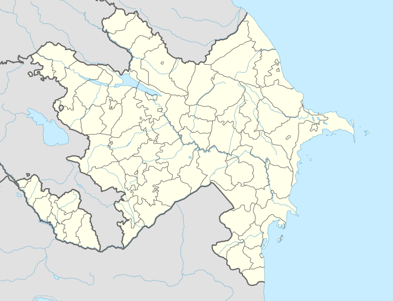
English: Location map of Azerbaijan
|
||||||||||||
| Dátum | |||||||||||||
| Zdroj |
Vlastní dílo pomocí:
|
||||||||||||
| Autor | NordNordWest | ||||||||||||
| Ďalšie verzie |
|
||||||||||||
_location_map.svg)
_location_map.svg)

|
Tato mapa byla vytvořena nebo vylepšena v německé Kartenwerkstatt (Mapová laboratoř). Můžete také navrhnout mapy k vylepšení.
|
Licencovanie
Usage of this file with:

explanatory notes: Legally binding is only the full legalcode. For a free usage I recommend to respect the following licence conditions:
1. Provide my name as given above: NordNordWest,
2. a copy of, or the URI for, the applicable license: https://creativecommons.org/licenses/by-sa/3.0/de/legalcode,
3. the title of the work,
4. in the case of an adaptation, a credit identifying the use of the work in the adaptation.
This license and the rights granted hereunder will terminate automatically upon any breach by you of the terms of this license. Any of the above conditions can be waived if you get permission from the copyright holder. If you have questions or wish differing conditions, please contact me through nnwest or my discussion page ![]() t-online.de
t-online.de
- Môžete slobodne:
- zdieľať – kopírovať, šíriť a prenášať dielo
- meniť ho – upravovať dielo
- Za nasledovných podmienok:
- uvedenie autorov – Musíte spomenúť autorov (jednotlivo alebo kolektívne), poskytnúť odkaz na licenciu a uviesť, či ste niečo zmenili. Môžete to urobiť ľubovoľným primeraným spôsobom, ale nie spôsobom naznačujúcim, že poskytovateľ licencie podporuje vás alebo vaše použitie diela.
- meniť za rovnakých podmienok – Ak toto dielo zmeníte, prevediete do inej formy alebo použijete ako základ iného diela, musíte výsledok šíriť pod rovnakou alebo kompatibilnou licenciou ako originál.

História súboru
Po kliknutí na dátum/čas uvidíte ako súbor vyzeral vtedy.
| Dátum/Čas | Náhľad | Rozmery | Používateľ | Komentár | |
|---|---|---|---|---|---|
| aktuálna | 14:39, 10. apríl 2024 | | 1 200 × 919 (274 KB) | NordNordWest | corr |
| 20:51, 26. január 2024 |  | 1 200 × 919 (274 KB) | NordNordWest | corr Ağdərə | |
| 12:58, 7. október 2023 |  | 1 200 × 919 (273 KB) | Nemoralis | this is in common usage | |
| 12:31, 7. október 2023 |  | 1 200 × 919 (280 KB) | Toghrul R | there's a separate file for this | |
| 20:24, 2. október 2023 |  | 1 200 × 919 (273 KB) | Qutlu | upd | |
| 19:18, 20. apríl 2021 |  | 1 200 × 919 (280 KB) | NordNordWest | . | |
| 19:18, 19. apríl 2021 |  | 1 200 × 919 (286 KB) | AntonSamuel | Further minor fixes | |
| 19:12, 19. apríl 2021 |  | 1 200 × 919 (286 KB) | AntonSamuel | Stripes fix | |
| 15:58, 19. apríl 2021 |  | 1 200 × 919 (286 KB) | AntonSamuel | Minor fix for Shusha | |
| 15:56, 19. apríl 2021 |  | 1 200 × 919 (286 KB) | AntonSamuel | Further adjustments |
Použitie súboru
Na tento súbor odkazuje nasledujúcich 6 stránok:
Globálne využitie súborov
Nasledovné ďalšie wiki používajú tento súbor:
- Použitie na ab.wikipedia.org
- Použitie na af.wikipedia.org
- Použitie na als.wikipedia.org
- Použitie na ang.wikipedia.org
- Použitie na an.wikipedia.org
- Použitie na ar.wikipedia.org
- Použitie na ast.wikipedia.org
- Baku Crystal Hall
- Bakú
- Estadiu Tofiq Bəhramov
- Complexu Deportivu y de Conciertos Heydər Əliyev
- Tigranakert (Artsakh)
- Stepanakert
- Sumqayit
- Mingachevir
- Circuitu urbanu de Bakú
- Módulu:Mapa de llocalización/datos/Azerbaixán
- Módulu:Mapa de llocalización/datos/Azerbaixán/usu
- Frontera ente Azerbaixán ya Irán
- Frontera ente Azerbaixán y Turquía
- Alministración Presidencial d'Azerbaixán
- Aeropuertu Internacional Heydar Aliyev
- Aeropuertu de Ganja
- Aeropuertu de Stepanakert
- Puertu comercial marítimu internacional de Bakú
- Muséu Estatal d'Historia d'Azerbaixán
- Muséu d'Arte Modernu de Bakú
- Observatoriu Astrofísicu de Şamaxı
- Metro de Bakú
- Estación de ferrocarril de Bakú
- Islla Gil (Azerbaixán)
- Použitie na av.wikipedia.org
- Použitie na azb.wikipedia.org
Zobraziť ďalšie globálne použitie tohto súboru.