Súbor:Mexico map, MX-DIF.svg

Veľkosť tohoto PNG náhľadu tohoto SVG súboru: 800 × 544 pixelov. Iné rozlíšenia: 320 × 218 pixelov | 640 × 435 pixelov | 1 024 × 696 pixelov | 1 280 × 870 pixelov | 2 560 × 1 741 pixelov | 1 000 × 680 pixelov .
Pôvodný súbor (SVG súbor, 1 000 × 680 pixelov, veľkosť súboru: 144 KB)
Zhrnutie
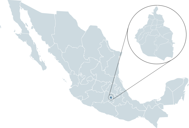
| Popis | Locator map for Distrito Federal within Mexico. | ||
| Dátum | |||
| Zdroj | Mexico template.svg od Lokal_Profil | ||
| Autor | Lokal_Profil | ||
| Povolenie (Využívanie tohto súboru) |
Original image licensed under
|
||
| SVG vývoj |
História súboru
Po kliknutí na dátum/čas uvidíte ako súbor vyzeral vtedy.
| Dátum/Čas | Náhľad | Rozmery | Používateľ | Komentár | |
|---|---|---|---|---|---|
| aktuálna | 23:47, 13. február 2008 | | 1 000 × 680 (144 KB) | El bart089 | {{Information |Description= |Source= |Date= |Author= |Permission= |other_versions= }} |
| 01:26, 19. november 2007 |  | 1 000 × 680 (123 KB) | El bart089 | Based on the image made by Lokal Profil | |
| 17:27, 4. júl 2007 |  | 1 000 × 680 (117 KB) | Lokal Profil | {{Information |Description=Locator map for Distrito Federal within Mexico. |Source=Image:Mexico template.svg by Mario Fuente Cid <small>and Lokal_Profil</small> |Date=0 |
Použitie súboru
Na tento súbor odkazuje nasledujúca stránka:
Globálne využitie súborov
Nasledovné ďalšie wiki používajú tento súbor:
- Použitie na af.wikipedia.org
- Použitie na arz.wikipedia.org
- Použitie na ay.wikipedia.org
- Použitie na bs.wikipedia.org
- Použitie na bxr.wikipedia.org
- Použitie na de.wikipedia.org
- Použitie na en.wikipedia.org
- Použitie na es.wikipedia.org
- Organización Nacional Estudiantil de Fútbol Americano
- Liga Mayor 1945-46
- Torneo Verano 1997 (México)
- Liga Mayor 1946-47
- Liga Mayor 1947-48
- Primera División de México: México 1986
- Primera División de México PRODE 1985
- Torneo Apertura 2007 (México)
- Liga Mayor 1948-49
- Primera División de México 1992-93
- Primera División de México 1956-57
- Primera División de México 1958-59
- Primera División de México 1959-60
- Primera División de México 1960-61
- Primera División de México 1961-62
- Primera División de México 1969-70
- Liga Mexicana de Béisbol 1999
- Liga Mexicana de Béisbol 2000
- Liga Mexicana de Béisbol 2001
- Torneo Clausura 2008 (México)
- Torneo Apertura 2008 (México)
- Primera División de México 1991-92
- Categoría:Ciudad de México
- Torneo Clausura 2009 (México)
- Liga Mexicana de Béisbol 1925
- Liga Mexicana de Béisbol 1998
- Liga Mexicana de Béisbol 1997
- Liga Mexicana de Béisbol 1996
- Liga Mexicana de Béisbol 1994
- Liga Mexicana de Béisbol 1993
- Liga Mexicana de Béisbol 1995
- Torneo Apertura 2009 (México)
- Liga Mayor 1949-50
- Primera División de México 1950-51
Zobraziť ďalšie globálne použitie tohto súboru.