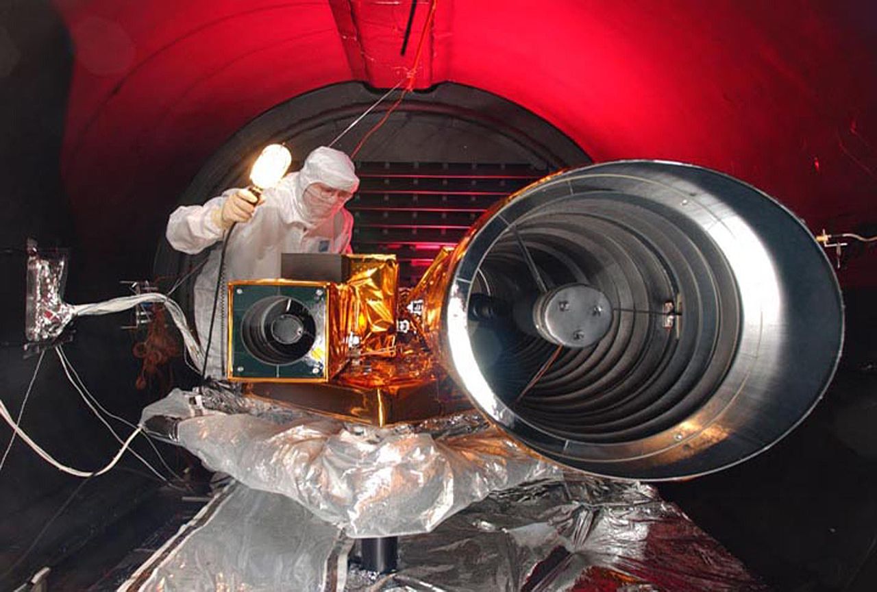
Súbor:Deep Impact HRI tests.jpg

Veľkosť tohto náhľadu: 800 × 540 pixelov. Iné rozlíšenia: 320 × 216 pixelov | 640 × 432 pixelov | 1 024 × 691 pixelov | 1 280 × 864 pixelov | 3 000 × 2 025 pixelov .
Pôvodný súbor (3 000 × 2 025 pixelov, veľkosť súboru: 370 KB, MIME typ: image/jpeg)
| Popis |
|
| Dátum | pred 10. januárom 2005 |
| Zdroj | |
| Autor | NASA |
Tento mediální soubor byl katalogizován v Kennedyho vesmírném středisku amerického Národního úřadu pro letectví a kosmonautiku (NASA)pod Photo ID: KSC-05PD-0115 A Alternate ID: 05pd0115. Toto oznámení nepopisuje autorskoprávní status tohoto souboru. Stále je vyžadován běžný popisek licence. Další informace najdete na Commons:Licencování. Jiné jazyky:
|
| Pozícia kamery | | Tento a ďalšie obrázky na: OpenStreetMap |
|---|
| This file is in the public domain in the United States because it was solely created by NASA. NASA copyright policy states that "NASA material is not protected by copyright unless noted". (See Template:PD-USGov, NASA copyright policy page or JPL Image Use Policy.) | ||
 |
Warnings:
|
História súboru
Po kliknutí na dátum/čas uvidíte ako súbor vyzeral vtedy.
| Dátum/Čas | Náhľad | Rozmery | Používateľ | Komentár | |
|---|---|---|---|---|---|
| aktuálna | 22:09, 9. júl 2005 | | 3 000 × 2 025 (370 KB) | Bricktop |
Použitie súboru
Na tento súbor odkazuje nasledujúcich 7 stránok:
Globálne využitie súborov
Nasledovné ďalšie wiki používajú tento súbor:
- Použitie na de.wikipedia.org
- Použitie na en.wikipedia.org
- Použitie na id.wikipedia.org
- Použitie na pl.wikipedia.org
- Použitie na sv.wikipedia.org
- Použitie na tr.wikipedia.org
- Použitie na zh.wikipedia.org