Súbor:Kaernten Donaumonarchie.png
Nie je dostupné vyššie rozlíšenie.
Kaernten_Donaumonarchie.png (674 × 510 pixelov, veľkosť súboru: 7 KB, MIME typ: image/png)
Zhrnutie
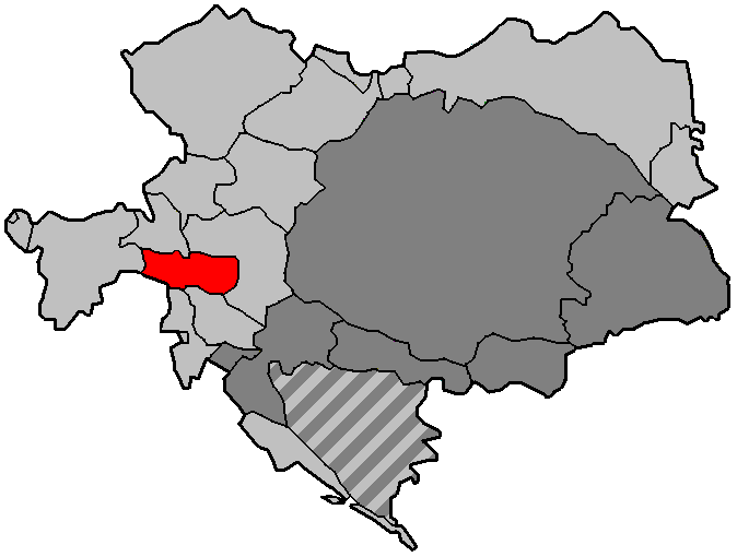
| Popis |
English: Map of Austria-Hungary |
| Dátum | |
| Zdroj | Vlastné dielo |
| Autor | Immanuel Giel |
Licencovanie
| Ja, držiteľ autorských práv k tomuto dielu, uvoľňujem toto dielo ako voľné dielo (public domain). Toto platí celosvetovo. V niektorých krajinách to zákon neumožňuje; v tom prípade: Udeľujem komukoľvek právo používať toto dielo na ľubovoľné účely, bez akýchkoľvek podmienok ak také podmienky nevyžaduje zákon. |
História súboru
Po kliknutí na dátum/čas uvidíte ako súbor vyzeral vtedy.
| Dátum/Čas | Náhľad | Rozmery | Používateľ | Komentár | |
|---|---|---|---|---|---|
| aktuálna | 12:01, 28. september 2021 | | 674 × 510 (7 KB) | Sumek101 | Bug fix: Fiume was part of Transleithania. Bosnia and Herzegovina was under dually administration by Cisleithania and Transleithania |
| 08:15, 12. január 2009 |  | 674 × 510 (8 KB) | Immanuel Giel | {{Information |Description={{en|1=Map of Austria-Hungary}} |Source=Own work by uploader |Author=Immanuel Giel |Date=January 2009 |Permission= |other_versions= }} <!--{{ImageUpload|full}}--> Category:Maps of Austria-Hungary |
Použitie súboru
Na tento súbor odkazuje nasledujúca stránka:
Globálne využitie súborov
Nasledovné ďalšie wiki používajú tento súbor:
- Použitie na ar.wikipedia.org
- Použitie na ca.wikipedia.org
- Použitie na en.wikipedia.org
- Použitie na et.wikipedia.org
- Použitie na fr.wikipedia.org
- Použitie na he.wikipedia.org
- Použitie na hu.wikipedia.org
- Použitie na it.wikipedia.org
- Použitie na lt.wikipedia.org
- Použitie na pl.wikipedia.org
- Použitie na pl.wiktionary.org
- Použitie na pt.wikipedia.org
- Použitie na ro.wikipedia.org
- Použitie na ru.wikipedia.org
- Použitie na th.wikipedia.org
- Použitie na tr.wikipedia.org
- Použitie na zh.wikipedia.org