Súbor:Bermuda location map.svg

Veľkosť tohoto PNG náhľadu tohoto SVG súboru: 800 × 545 pixelov. Iné rozlíšenia: 320 × 218 pixelov | 640 × 436 pixelov | 1 024 × 698 pixelov | 1 280 × 872 pixelov | 2 560 × 1 744 pixelov | 1 311 × 893 pixelov .
Pôvodný súbor (SVG súbor, 1 311 × 893 pixelov, veľkosť súboru: 58 KB)
Zhrnutie
| Popis |
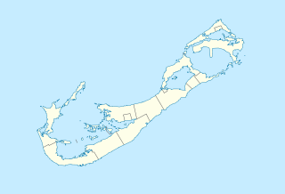
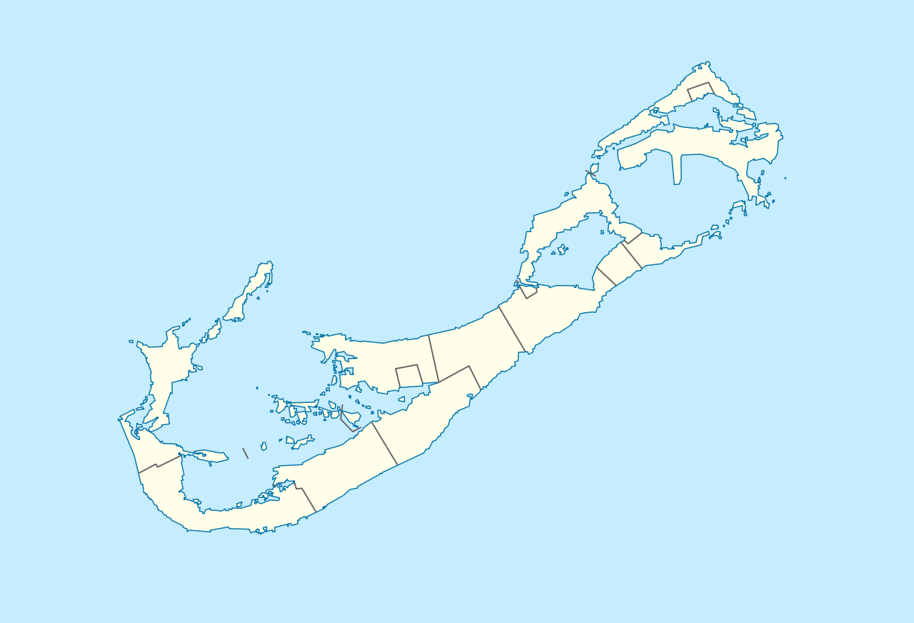
Deutsch: Positionskarte von Bermuda
Geographische Begrenzung der Karte:
English: Location map of Bermuda
Geographic limits of the map:
|
||||||||||||
| Dátum | |||||||||||||
| Zdroj | Vlastné dielo | ||||||||||||
| Autor | NordNordWest | ||||||||||||
| Povolenie (Využívanie tohto súboru) |
|

|
Tato mapa byla vytvořena nebo vylepšena v německé Kartenwerkstatt (Mapová laboratoř). Můžete také navrhnout mapy k vylepšení.
|
| Poznámky | K tomuto souboru existují poznámky: Prohlédnout si poznámky na Commons |
História súboru
Po kliknutí na dátum/čas uvidíte ako súbor vyzeral vtedy.
| Dátum/Čas | Náhľad | Rozmery | Používateľ | Komentár | |
|---|---|---|---|---|---|
| aktuálna | 16:29, 19. december 2009 | | 1 311 × 893 (58 KB) | NordNordWest | == {{int:filedesc}} == {{Information |Description= {{de|Positionskarte von Bermuda}} Geographische Begrenzung der Karte: * N: 32.41° N * S: 32.22° N * W: 64.93° W * O: 64.6° W {{en|Location map of Bermuda}} Geographic l |
Použitie súboru
Na tento súbor odkazujú nasledujúce 2 stránky:
Globálne využitie súborov
Nasledovné ďalšie wiki používajú tento súbor:
- Použitie na af.wikipedia.org
- Použitie na an.wikipedia.org
- Použitie na ar.wikipedia.org
- Použitie na ast.wikipedia.org
- Použitie na az.wikipedia.org
- Použitie na ba.wikipedia.org
- Použitie na be-tarask.wikipedia.org
- Použitie na be.wikipedia.org
- Použitie na bg.wikipedia.org
- Použitie na bn.wikipedia.org
- Použitie na bs.wikipedia.org
- Použitie na ceb.wikipedia.org
- Plantilya:Location map United Kingdom Bermuda
- Grape Bay (luuk sa Bermuda)
- Spanish Point
- South Channel
- Soldier Point
- Saint George
- Port Royal Bay
- Rabbit Island
- Nonsuch Bay
- The Narrows
- Long Island
- Long Bay
- High Point
- Green Bay
- Grape Bay
- Great Bay
- Goat Island
- Crawl Point
- Bird Island
- North Point
- North Channel
- Pembroke
- Long Rock
- Black Rock
- Cat Island
Zobraziť ďalšie globálne použitie tohto súboru.