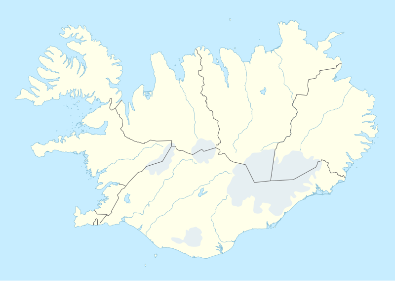
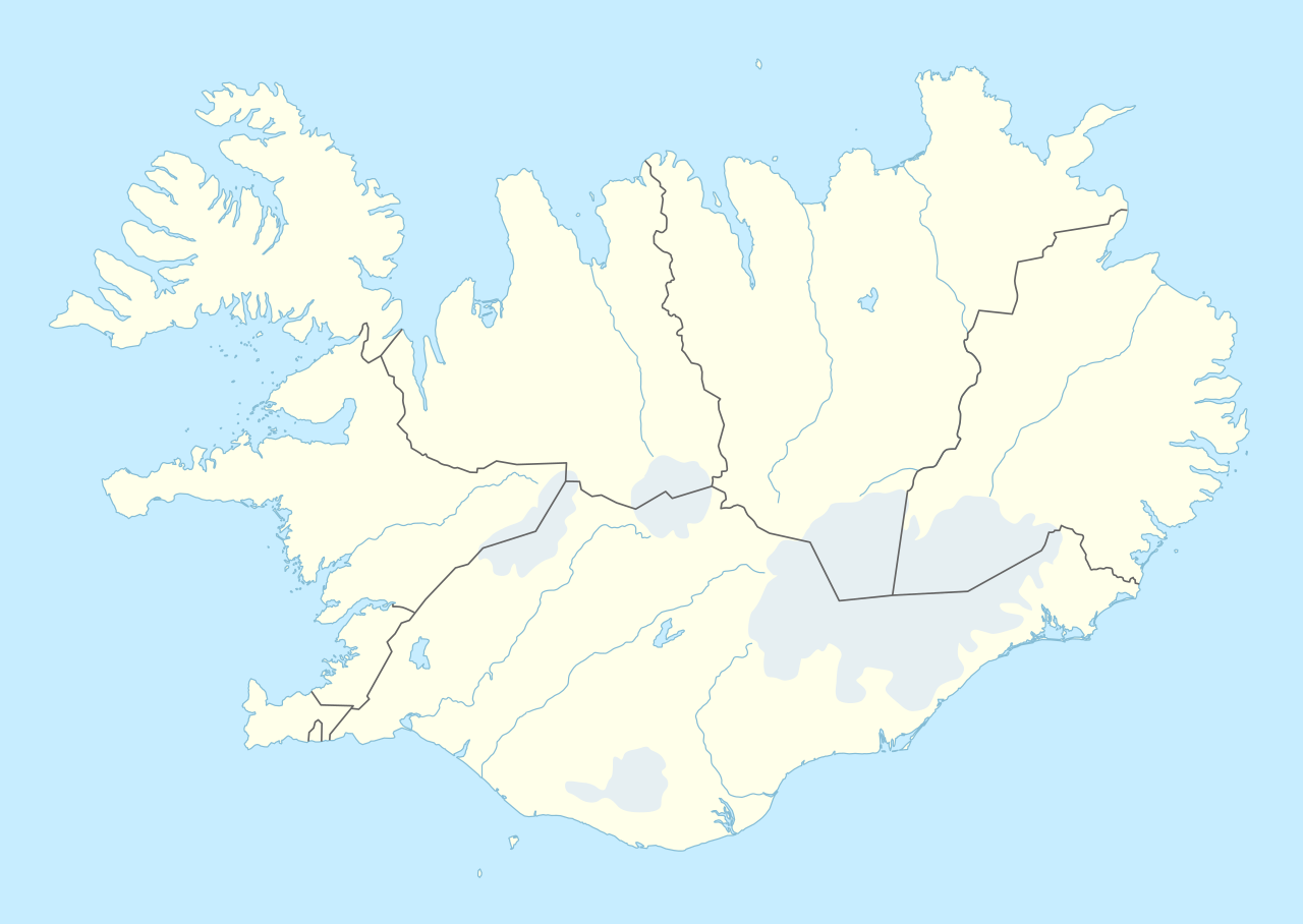
Súbor:Iceland adm location map.svg

Pôvodný súbor (SVG súbor, 1 186 × 841 pixelov, veľkosť súboru: 145 KB)
Zhrnutie
| Popis |
Deutsch: Positionskarte von Island
English: Location map of Iceland
|
||||||||||||
| Dátum | |||||||||||||
| Zdroj |
Vlastní dílo pomocí:
|
||||||||||||
| Autor | NordNordWest | ||||||||||||

|
Tato mapa byla vytvořena nebo vylepšena v německé Kartenwerkstatt (Mapová laboratoř). Můžete také navrhnout mapy k vylepšení.
|
Licencovanie
Usage of this file with:

explanatory notes: Legally binding is only the full legalcode. For a free usage I recommend to respect the following licence conditions:
1. Provide my name as given above: NordNordWest,
2. a copy of, or the URI for, the applicable license: https://creativecommons.org/licenses/by-sa/3.0/de/legalcode,
3. the title of the work,
4. in the case of an adaptation, a credit identifying the use of the work in the adaptation.
This license and the rights granted hereunder will terminate automatically upon any breach by you of the terms of this license. Any of the above conditions can be waived if you get permission from the copyright holder. If you have questions or wish differing conditions, please contact me through nnwest or my discussion page ![]() t-online.de
t-online.de
- Môžete slobodne:
- zdieľať – kopírovať, šíriť a prenášať dielo
- meniť ho – upravovať dielo
- Za nasledovných podmienok:
- uvedenie autorov – Musíte spomenúť autorov (jednotlivo alebo kolektívne), poskytnúť odkaz na licenciu a uviesť, či ste niečo zmenili. Môžete to urobiť ľubovoľným primeraným spôsobom, ale nie spôsobom naznačujúcim, že poskytovateľ licencie podporuje vás alebo vaše použitie diela.
- meniť za rovnakých podmienok – Ak toto dielo zmeníte, prevediete do inej formy alebo použijete ako základ iného diela, musíte výsledok šíriť pod rovnakou alebo kompatibilnou licenciou ako originál.

História súboru
Po kliknutí na dátum/čas uvidíte ako súbor vyzeral vtedy.
| Dátum/Čas | Náhľad | Rozmery | Používateľ | Komentár | |
|---|---|---|---|---|---|
| aktuálna | 18:25, 11. november 2022 | | 1 186 × 841 (145 KB) | NordNordWest | upd |
| 18:46, 19. november 2018 |  | 1 186 × 841 (145 KB) | NordNordWest | complete version again | |
| 03:26, 19. november 2018 |  | 1 186 × 841 (226 KB) | A Red Cherry | Many border shifts; updated to a newer SVG locator map | |
| 17:24, 15. september 2014 |  | 1 186 × 841 (145 KB) | NordNordWest | == {{int:filedesc}} == {{Information |Description= {{de|1=Positionskarte von Island}} {{en|1=Location map of Iceland}} {{Location map series N |top=66.8 |bottom=63.1 |left=-25 |right=-13 }} |Source={{Own using}} * United States National Imagery and Map... |
Použitie súboru
Na tento súbor odkazuje nasledujúca stránka:
Globálne využitie súborov
Nasledovné ďalšie wiki používajú tento súbor:
- Použitie na af.wikipedia.org
- Použitie na an.wikipedia.org
- Použitie na ast.wikipedia.org
- Eyjafjallajökull
- Eyjafjöll
- Þingvellir
- Keflavík
- Eyjafjörður
- Snæfellsnes
- Faxaflói
- Blönduósbær
- Skógafoss
- Faxi
- Dynjandi
- Seljalandsfoss
- Parque nacional Skaftafell
- Gullfoss
- Glymur
- Drangajökull
- Viðey
- Geirfuglasker
- Elliðaey
- Eldey
- Reikiavik
- Faloteca islandesa
- Kverkfjöll
- Alþingishúsið
- Laki
- Módulu:Mapa de llocalización/datos/Islandia
- Laugardalsvöllur
- Úrvalsdeild Karla
- Aeropuertu Internacional de Keflavík
- Aeropuertu d'Akureyri
- Aeropuertu de Bíldudalur
- Aeropuertu d'Egilsstaðdir
- Aeropuertu de Reikiavik
Zobraziť ďalšie globálne použitie tohto súboru.