Súbor:Kent UK location map.svg

Veľkosť tohoto PNG náhľadu tohoto SVG súboru: 800 × 561 pixelov. Iné rozlíšenia: 320 × 225 pixelov | 640 × 449 pixelov | 1 024 × 719 pixelov | 1 280 × 898 pixelov | 2 560 × 1 796 pixelov | 1 425 × 1 000 pixelov .
Pôvodný súbor (SVG súbor, 1 425 × 1 000 pixelov, veľkosť súboru: 2,11 MB)
| Popis |
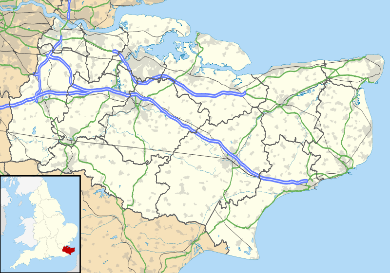
Map of Kent, UK with the following information shown:
Equirectangular map projection on WGS 84 datum, with N/S stretched 160% Geographic limits:
|
| Dátum | |
| Zdroj |
|
| Autor | Nilfanion, created using Ordnance Survey data |
| Povolenie (Využívanie tohto súboru) |
Tento súbor podlieha licencii Creative Commons Attribution-Share Alike 3.0 Unported Uvedenie autora: Contains Ordnance Survey data © Crown copyright and database right
|
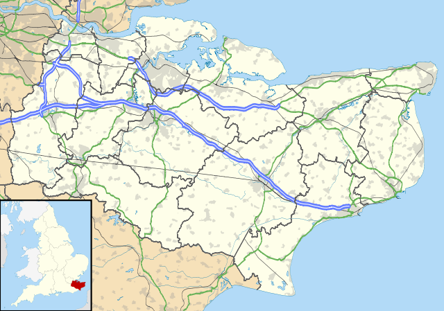
| Ďalšie verzie | File:Kent UK district map (blank).svg - Blank map |
.svg)
História súboru
Po kliknutí na dátum/čas uvidíte ako súbor vyzeral vtedy.
| Dátum/Čas | Náhľad | Rozmery | Používateľ | Komentár | |
|---|---|---|---|---|---|
| aktuálna | 18:58, 26. september 2010 | | 1 425 × 1 000 (2,11 MB) | Nilfanion | {{Information |Description=Map of Kent, UK with the following information shown: *Administrative borders *Coastline, lakes and rivers *Roads and railways *Urban areas Equirectangular map projection on WGS 84 datum, with N/S stretched 160% Geo |
Použitie súboru
Žiadne stránky neobsahujú odkazy na tento súbor.
Globálne využitie súborov
Nasledovné ďalšie wiki používajú tento súbor:
- Použitie na ar.wikipedia.org
- Použitie na bg.wikipedia.org
- Použitie na br.wikipedia.org
- Použitie na ca.wikipedia.org
- Použitie na ceb.wikipedia.org
- Použitie na cs.wikipedia.org
- Použitie na cy.wikipedia.org
- Použitie na el.wikipedia.org
- Použitie na en.wikipedia.org
- Lullingstone Roman Villa
- Dover
- Canterbury
- Chatham, Kent
- Dartford Crossing
- Hever Castle
- Leeds Castle
- Sandwich, Kent
- Folkestone
- Minster-in-Thanet
- Aylesford
- Maidstone
- Rochester, Kent
- Snodland
- Romney Marsh
- Dover Castle
- Walmer Castle
- Walmer
- Wye, Kent
- Isle of Sheppey
- Bedgebury National Pinetum
- Gravesend
- Eythorne
- Ramsgate
- Herne Bay
- Sevenoaks
- Tonbridge
- Stansted, Kent
- Royal Tunbridge Wells
- Ashford, Kent
- Broadstairs
- Hythe, Kent
- Queenborough
- New Romney
- Whitstable
- Otford
- Paddock Wood
- Knole
Zobraziť ďalšie globálne použitie tohto súboru.