Súbor:Location Transnistria Europe.png

Veľkosť tohto náhľadu: 687 × 600 pixelov. Iné rozlíšenia: 275 × 240 pixelov | 550 × 480 pixelov | 880 × 768 pixelov | 1 173 × 1 024 pixelov | 2 052 × 1 792 pixelov .
Pôvodný súbor (2 052 × 1 792 pixelov, veľkosť súboru: 419 KB, MIME typ: image/png)
Zhrnutie
| Popis |
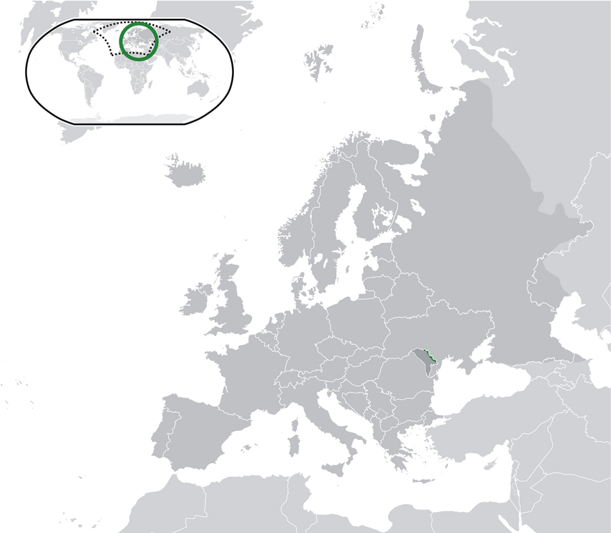
English: Location Moldova Europe.png
English: Transnistria (green) / Moldova (dark grey) / Europe and other regions (light grey); inspired by and consistent with general country locator maps by User:Vardion, et al |
| Dátum | |
| Zdroj | Vlastné dielo |
| Autor | CatJar |
Licencovanie
| Ja, držiteľ autorských práv k tomuto dielu, uvoľňujem toto dielo ako voľné dielo (public domain). Toto platí celosvetovo. V niektorých krajinách to zákon neumožňuje; v tom prípade: Udeľujem komukoľvek právo používať toto dielo na ľubovoľné účely, bez akýchkoľvek podmienok ak také podmienky nevyžaduje zákon. |
História súboru
Po kliknutí na dátum/čas uvidíte ako súbor vyzeral vtedy.
| Dátum/Čas | Náhľad | Rozmery | Používateľ | Komentár | |
|---|---|---|---|---|---|
| aktuálna | 23:57, 11. júl 2020 | | 2 052 × 1 792 (419 KB) | De728631 | added South Sudan to World map |
| 22:29, 24. december 2009 |  | 2 052 × 1 792 (353 KB) | CatJar | {{Information |Description={{en|1= Location Moldova Europe.png '''English:''' Transnistria (green) / Moldova (dark grey) / Europe and other regions (light grey); inspired by and consistent with general country locator maps by User:Vardion, et al}} |Source |
Použitie súboru
Žiadne stránky neobsahujú odkazy na tento súbor.
Globálne využitie súborov
Nasledovné ďalšie wiki používajú tento súbor:
- Použitie na af.wikipedia.org
- Použitie na ar.wikipedia.org
- Použitie na be-tarask.wikipedia.org
- Použitie na crh.wikipedia.org
- Použitie na cs.wikipedia.org
- Použitie na el.wikivoyage.org
- Použitie na en.wikipedia.org
- Použitie na eo.wikipedia.org
- Použitie na fa.wikipedia.org
- Použitie na fr.wikipedia.org
- Použitie na incubator.wikimedia.org
- Použitie na lv.wikipedia.org
- Použitie na mg.wikipedia.org
- Použitie na ml.wikipedia.org
- Použitie na pt.wikipedia.org
- Použitie na vi.wikipedia.org
- Použitie na war.wikipedia.org
- Použitie na zh.wikipedia.org