Súbor:Provinces of the Netherlands.png
Veľkosť tohto náhľadu: 424 × 600 pixelov. Iné rozlíšenia: 170 × 240 pixelov | 339 × 480 pixelov | 842 × 1 191 pixelov .
Pôvodný súbor (842 × 1 191 pixelov, veľkosť súboru: 121 KB, MIME typ: image/png)
Zhrnutie
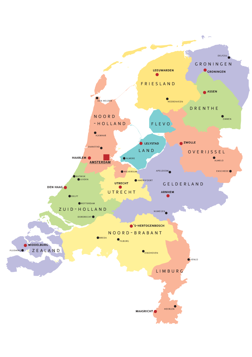
| Popis | Map of Provinces of Netherland |
| Dátum | |
| Zdroj | Vlastné dielo |
| Autor | Norway.today |
Licencovanie
I, Norway.today, držiteľ autorských práv k tomuto dielu ho týmto zverejňuje za podmienok nasledovných licencií:

|
Bolo udelené povolenie kopírovať, širiť a/alebo meniť tento dokument za podmienok GNU Free Documentation License, verzie 1.2 alebo ktorejkoľvek neskoršej verzie publikovanej Free Software Foundation; bez Nemenných častí, bez Textov na prednej obálke a bez Textov na zadnej obálke. Kópia tejto licencie je zahrnutá v časti nazvanej GNU Free Documentation License. |
| Tento súbor podlieha licencii Creative Commons Attribution-Share Alike 3.0 Unported | ||
| Uvedenie autora: I, Norway.today | ||
| ||
| Táto šablóna licencie bola pridaná k tomuto súboru počas aktualizácie licencovania GFDL. |
Tento súbor je licencovaný za podmienok Creative Commons Attribution-Share Alike 2.5 Generic, 2.0 Generic a 1.0 Generic.
Uvedenie autora: I, Norway.today
- Môžete slobodne:
- zdieľať – kopírovať, šíriť a prenášať dielo
- meniť ho – upravovať dielo
- Za nasledovných podmienok:
- uvedenie autorov – Musíte spomenúť autorov (jednotlivo alebo kolektívne), poskytnúť odkaz na licenciu a uviesť, či ste niečo zmenili. Môžete to urobiť ľubovoľným primeraným spôsobom, ale nie spôsobom naznačujúcim, že poskytovateľ licencie podporuje vás alebo vaše použitie diela.
- meniť za rovnakých podmienok – Ak toto dielo zmeníte, prevediete do inej formy alebo použijete ako základ iného diela, musíte výsledok šíriť pod rovnakou alebo kompatibilnou licenciou ako originál.
Môžete si zvoliť ľubovolnú z týchto licencií.
História súboru
Po kliknutí na dátum/čas uvidíte ako súbor vyzeral vtedy.
| Dátum/Čas | Náhľad | Rozmery | Používateľ | Komentár | |
|---|---|---|---|---|---|
| aktuálna | 17:07, 5. august 2007 | | 842 × 1 191 (121 KB) | Norway.today~commonswiki | == Summary == {{Information |Description= Map of Provinces of Netherland |Source=self-made |Date= 4. august 2007 |Author= Norway.today }} Category:Maps of the Netherlands |
| 14:30, 5. august 2007 |  | 842 × 1 191 (120 KB) | Norway.today~commonswiki | {{Information |Description= Map of Provinces of Netherland |Source=self-made |Date= 4. august 2007 |Author= Norway.today }} Category:Maps of the Netherlands | |
| 14:25, 5. august 2007 |  | 842 × 1 191 (127 KB) | Norway.today~commonswiki | {{Information |Description= Map of Provinces of Netherland |Source=self-made |Date= 4. august 2007 |Author= Norway.today }} Category:Maps of the Netherlands == Licensing == {{self|GFDL|cc-by-sa-2.5,2.0,1.0|author=I, [[User:Norwa | |
| 14:21, 5. august 2007 |  | 842 × 1 191 (116 KB) | Norway.today~commonswiki | {{Information |Description= Map of Provinces of Netherland |Source=self-made |Date= 4. august 2007 |Author= Norway.today }} Category:Maps of the Netherlands |
Použitie súboru
Žiadne stránky neobsahujú odkazy na tento súbor.