Súbor:Saint Lucia location map.svg

Veľkosť tohoto PNG náhľadu tohoto SVG súboru: 475 × 599 pixelov. Iné rozlíšenia: 190 × 240 pixelov | 380 × 480 pixelov | 609 × 768 pixelov | 812 × 1 024 pixelov | 1 624 × 2 048 pixelov | 1 060 × 1 337 pixelov .
Pôvodný súbor (SVG súbor, 1 060 × 1 337 pixelov, veľkosť súboru: 114 KB)
Zhrnutie
| Popis |
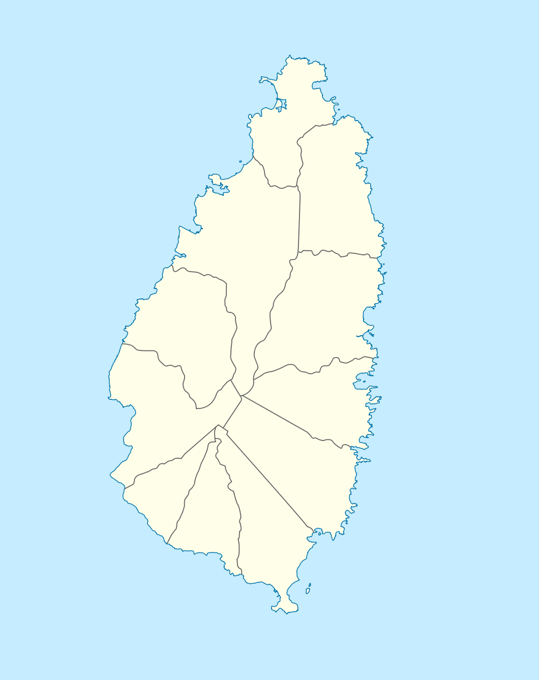
Deutsch: Positionskarte von St. Lucia
Geographische Begrenzung der Karte:
English: Location map of Saint Lucia
Geographic limits of the map:
|
||||||||||||
| Dátum | |||||||||||||
| Zdroj |
Vlastné dielo, using |
||||||||||||
| Autor | NordNordWest | ||||||||||||
| Povolenie (Využívanie tohto súboru) |
|

|
Tato mapa byla vytvořena nebo vylepšena v německé Kartenwerkstatt (Mapová laboratoř). Můžete také navrhnout mapy k vylepšení.
|
História súboru
Po kliknutí na dátum/čas uvidíte ako súbor vyzeral vtedy.
| Dátum/Čas | Náhľad | Rozmery | Používateľ | Komentár | |
|---|---|---|---|---|---|
| aktuálna | 18:16, 18. december 2009 | | 1 060 × 1 337 (114 KB) | NordNordWest | == {{int:filedesc}} == {{Information |Description= {{de|Positionskarte von St. Lucia}} Geographische Begrenzung der Karte: * N: 14.15° N * S: 13.66° N * W: 61.16° W * O: 60.76° W {{en|Location map of Saint Lucia}} |
Použitie súboru
Na tento súbor odkazujú nasledujúce 2 stránky:
Globálne využitie súborov
Nasledovné ďalšie wiki používajú tento súbor:
- Použitie na af.wikipedia.org
- Použitie na als.wikipedia.org
- Použitie na an.wikipedia.org
- Použitie na ar.wikipedia.org
- Použitie na ast.wikipedia.org
- Použitie na be-tarask.wikipedia.org
- Použitie na be.wikipedia.org
- Použitie na bg.wikipedia.org
- Použitie na bn.wikipedia.org
- Použitie na bs.wikipedia.org
- Použitie na ceb.wikipedia.org
- Plantilya:Location map Saint Lucia
- Rat Island
- Rat Islet
- Saint Lucia (pagklaro)
- Pigeon Island
- Chopin Ridge
- Black Bay
- Battery Point
- Union River
- Mamin River
- Mount Marquis
- Blanche Point
- Punchbowl
- Albert Point
- Pigeon Point
- Mount Morton
- Mount Bellevue
- Scorpion Island
- Esperance River
- Soufrière Bay
- Soufriere
- Mahaut River
- Petit Trou
- Beaumont Point
- Bonhomme Point
- Brandon Point
- Caesar Point
- Cap Point
- Cross Hill
- Dauphin River
- Falaise Point
- Georgie Point
Zobraziť ďalšie globálne použitie tohto súboru.